
Compare McLean ZIP Coverage
Four ZIP labels occur in official McLean postal material. Two serve ordinary delivery areas, while two are identified as PO Box-oriented services. The exact address result from USPS controls, because a McLean mailing label is not a Census CDP boundary or a parcel boundary. In particular, 22102 is associated with McLean, Tysons, Tysons Corner, and West McLean. A directory search should retain the returned ZIP with the street address, unit, and source date rather than assuming every McLean reference belongs to the same geography.
| McLean ZIP | Areas or label served | Postal behavior | Record-search note |
|---|---|---|---|
| 22101 | McLean core standard-delivery areas | Standard ZIP | A common McLean situs or mailing label; confirm the exact address with USPS. |
| 22102 | McLean, Tysons, Tysons Corner, West McLean | Standard ZIP | The label spans a broader postal area and is not a CDP boundary. |
| 22103 | McLean and West McLean postal listing | PO Box-oriented listing | Do not treat it as a normal situs geography without an address-specific result. |
| 22106 | McLean postal listing | PO Box service | Keep it separate from standard 22101 and 22102 delivery. |
Postal labels may be useful filters, but the McLean ZIP code directory does not turn those filters into a list of residents.
Verify a McLean ZIP First
USPS ZIP Lookup is the controlling address-by-address source for postal format. Its street-address route has a required street address with optional company and apartment or suite information; city, state, and ZIP fields are also available. A city-and-state route requires both fields, and a ZIP route requires the ZIP itself. Add the unit whenever it is known. USPS warns that its result does not confirm a person or company at the address and cannot guarantee an actual business address. That warning is important when a McLean search starts with an old mailing label.
Run the exact McLean address through USPS before joining a postal result to a Fairfax parcel, voter product, permit, or map. A PO Box ZIP in a mailing line says nothing by itself about the situs parcel.
Note: USPS provides delivery designations, while the Fairfax property systems use site addresses, parcels, and legal descriptions for different purposes.
Map McLean ZIP Boundaries
The Fairfax ZIP interactive map is the best county tool for comparing a McLean ZIP with other public geographies. Turn on ZIP Code, voting precinct, school, supervisor district, sewershed, watershed, or TAZ layers, search the address, then click the location. The interface supports pan and zoom, saved selections, and saving all results. These layers explain why two nearby McLean addresses can have different administrative labels. They are context layers, not proof of legal residency or a substitute for a deed.
The official Fairfax ZIP map displays the ZIP and community-geography layers used for this comparison.
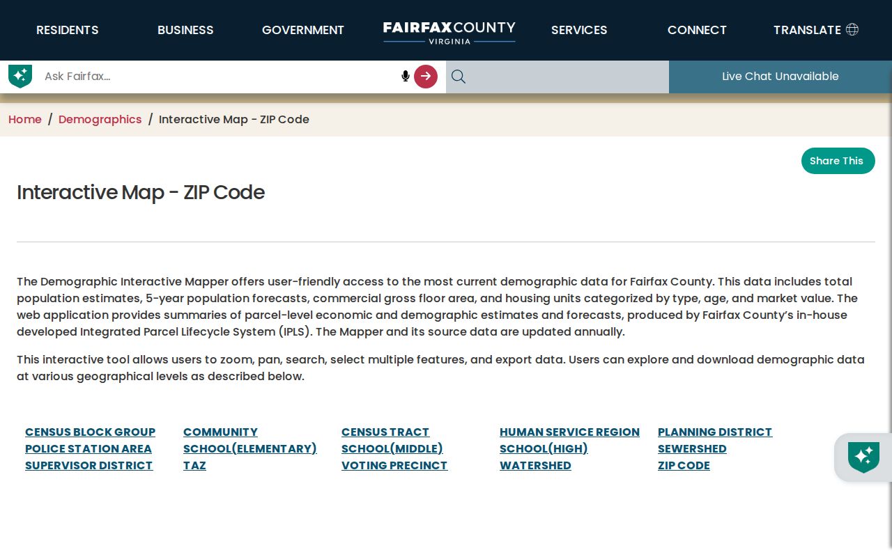
Use the selected McLean address as the anchor, then record the visible ZIP, precinct, school, and district labels separately rather than merging them into one boundary.
Run a McLean ZIP Workflow
A ZIP is a narrow postal locator, so the practical McLean workflow moves from delivery format to geographic context and then to the record custodian. This keeps an address keyed to the system that can actually explain it. It also avoids the false shortcut of treating a ZIP-wide result as a resident roster.
- Verify the full McLean address and ZIP with USPS, including an apartment or suite when available.
- Search the address in the Fairfax ZIP map and GIS layers to see the surrounding public geographies.
- Use the exact street address or parcel in iCare and PLUS, because neither is confirmed as a ZIP-wide owner export.
- Read any person field by its custodian: parcel owner, permit applicant, recorded party, or statutorily available voter field.
- When a ZIP has narrowed the address, use the McLean street directory for the full parcel and deed sequence.
A current postal match can still fall outside the McLean CDP, and a CDP address can have a different delivery label. Keep both facts in the research note.
Check McLean ZIP Portal Modes
Fairfax portals do not all treat a ZIP as a search key. USPS verifies an exact postal designation. iCare can return an address result that includes a ZIP, but the captured form does not establish a ZIP-wide owner export. PLUS offers a ZIP Code field in its general and building search. The voter-list channel is a locality, election, and product request rather than a public ZIP browser. MAR supports address, parcel, and street filters. These differences determine what a McLean ZIP result can mean.
| Portal | ZIP-capable mode | What the McLean result means |
|---|---|---|
| USPS | Street, city/state, or ZIP lookup | Postal delivery designation, not occupant verification |
| iCare | Address result can include ZIP | Parcel search; leave number blank for street browsing |
| PLUS | ZIP Code field in general and building search | Applications or records matching the site address |
| Virginia voter list | Locality, election, and product request | Eligible statutory product, subject to certification |
| Fairfax ZIP map | ZIP layer and address search | Geographic comparison with other county layers |
| GIS MAR | Address, parcel, and street filters | Authoritative site-address and parcel infrastructure |
Use the iCare address form after the ZIP is verified, then retain the parcel ID for later map and deed work.
Keep McLean ZIP and Parcel Keys Separate
Fairfax parcel identifiers use tax-map grids and parcel components, not a simple ZIP. Preserve a parcel string such as 0304 01 0014 exactly as a parcel key. Remove spaces only where PLUS specifically calls for a different format. The tax map and parcel connect iCare, GIS, plats, and recorded instruments, while a ZIP connects a delivery label to an address. Lot, block, subdivision, and metes-and-bounds descriptions can survive a street-label change, which is why a McLean parcel trail should never be reduced to its ZIP.
The Fairfax GIS pages identify MAR as the county's authoritative address-and-parcel infrastructure. A parcel can have a situs address, a tax mailing address, and a legal description with distinct evidentiary roles.
Interpret McLean PO Box Labels
McLean 22103 and 22106 require extra care because the official postal lists identify them as PO Box-oriented services. A PO Box ZIP can appear in a mailing field without describing the physical site of a parcel. It should not be used to draw a McLean neighborhood line, infer a parcel location, or decide that a voter, permit, or deed record concerns the box holder's physical address. Start with a USPS match and then use the physical street address to query Fairfax systems.
- ZIP code
- A postal routing designation for an address area or delivery arrangement.
- ZIP+4
- An added delivery segment that refines mail routing within a ZIP; it is not a parcel identifier.
- PO Box ZIP
- A postal designation for box service, which may differ from the ZIP for a physical site.
- Unique ZIP
- A ZIP assigned for a single organization or delivery arrangement; none is assumed for McLean without a USPS result.
- Carrier route
- A mail-delivery route used operationally by USPS, not a civic or ownership boundary.
McLean ZIP Boundary Myth
McLean is a Census-designated place inside Fairfax County, not an incorporated city. Its geography overlaps the Dranesville District, postal labels, tax-map grids, precincts, school areas, and the McLean Community Business Center without making any one of them the others. The 230-acre CBC centers on Chain Bridge Road and Old Dominion Drive and includes portions of tax-map grids 30-2 and 30-4. It is a planning area, not the boundary for every McLean ZIP. Likewise, a McLean Community Center service-area figure is a program statistic, not a population count or postal line.
This geography matters when a 22102 result also mentions Tysons or West McLean. Compare the full address and map layers rather than forcing the label into a single jurisdictional category.
Note: McLean neighborhood names, CDP lines, postal ZIPs, and Fairfax planning areas are useful clues, but none is a substitute for a parcel or deed boundary.
Know McLean ZIP Limits
The McLean ZIP code directory cannot establish who lives at an address. USPS expressly limits its result to postal information. A parcel record can show an owner and mailing line but not every occupant. A voter product has statutory fields and protected-address limits. A permit can name an applicant or contractor, and a deed can show recorded parties, without identifying a household. Use ZIP as a filter and a postal locator, then let each custodian's field labels determine the claim that can safely be made.
For a McLean historical search, write down both the current postal result and the earlier label exactly as each source gives it. Rural-route descriptions, subdivision creation, road-name changes, and post-office conventions can all create a city mismatch without a physical move. Bridge the difference through the current USPS address, MAR site address, tax map or parcel, plat or deed, and then a dated directory or map. Reverse directories can add an address-to-occupant clue, but their exact McLean volume years need library confirmation. That sequence preserves the uncertainty instead of converting a delivery change into a false residency claim.
When a McLean result appears inconsistent, compare the record dates before changing the address. A recent parcel card, an older printed directory, and a postal lookup can all be accurate within their own time and purpose. Record the source date, the delivery label, the site address, and the parcel key as separate facts. That small discipline makes it possible to revisit a McLean search when a new deed, map layer, or directory volume becomes available.
No verified McLean ZIP split or realignment year was located in the official research. Use current USPS lookup and dated historical postal material only when the source itself supplies the date.