
McLean Neighbors on One Block
Public records answer different questions about McLean neighbors. Fairfax GIS shows the visual relationship among parcels, roads, lots, buildings, and district layers. iCare supplies the detailed parcel record, including situs and mailing fields. A deed or plat can establish legal adjacency where the map suggests a shared boundary. Association pages may offer a public way to contact a civic group, but they are not member lists. The block table separates those roles so an owner, occupant, voter, and association contact are not treated as the same thing.
| McLean block source | What it can show | Access route |
|---|---|---|
| Jade and Fairfax GIS | Parcel adjacency, roads, lots, buildings, districts, and map layers | Free county map |
| Fairfax iCare | Parcel owner, situs, mailing field, assessment, and sales context | Free address or owner search, office and phone fallback |
| Circuit deeds and plats | Legal adjacency, subdivision lots, easements, and transfer history | CPAN, Research Room, or copy request |
| Virginia voter-list product | Statutory voter fields for eligible addresses | Request and certification under Title 24.2 |
| PLUS, LDIH, and SRV | Site plans, permits, inspections, and code or complaint history | County public-records route, legacy system, or VFOIA fallback |
| Civic associations and library material | Self-described neighborhood coverage, meetings, historic household clues | Public contacts, Virginia Room, or FamilySearch |
Ownership and occupancy are not interchangeable. A mailing address can belong to a trustee, business, or administrator. A map can depict a rear lot, shared drive, road strip, or condominium tax lot that does not function as an immediate neighbor relationship. Record the source type beside each result before drawing a conclusion.
Map McLean Neighbors by Parcel
Begin in Fairfax GIS Jade or the Digital Map Viewer, find the target address, and note its parcel ID and tax-map tile. Jade provides address, property-report, aerial, My Neighborhood, and map-layer routes. MAR is Fairfax's authoritative site-address and parcel source, while DTA is the detailed ownership, assessment, and sales source. The visual method is deliberately small: inspect the immediate parcel edges, then verify each selected ID in iCare instead of trying to infer an entire street from a map label.
- Find the exact McLean address and save its parcel ID, site address, map year, tax-map tile, and date viewed.
- Zoom to the block and inspect adjacent parcel edges, street labels, lot numbers, buildings, shared drives, road strips, and water features.
- Open or cross-reference each adjacent parcel in iCare, preserving the situs and mailing fields as separate evidence.
- Use the recorded plat or deed if legal adjacency, an easement, or a split parcel matters.
- For a named street beyond the immediate block, use the fuller McLean By Street record workflow.
The official Fairfax GIS page introduces Jade, MAR, imagery, property reports, My Neighborhood, and help routes used for a block lookup.
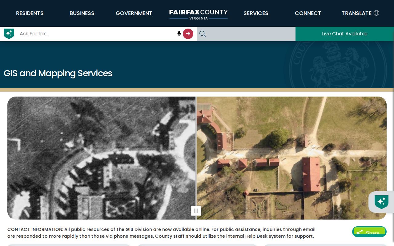
Use the resulting parcel geometry to select nearby records, not as proof of a deed boundary or a current household roster.
McLean Neighbors and Legal Lines
GIS provides visual adjacency, but a deed and plat control the legal relationship. A plat is a recorded map that can identify a subdivision, lot, right-of-way, or easement. The deed's legal description may instead use a lot and block or metes-and-bounds language. When an apparent neighbor parcel is part of a private drive, a common area, a water strip, or a parent condominium parcel, only the recorded material can explain the role.
The Circuit Court's Land Records Research route covers the broad 1742-present digital collection. CPAN is the subscriber layer, the public Research Room is the free in-person path, and the Historic Records Center handles older books. A copy request works best after the researcher has an instrument number or book and page. For an address created after a split, check the parent legal description and every child parcel rather than carrying a modern street number backward unchanged.
- Parcel
- A tax-map unit used to identify land for assessment and mapping. It may not describe every legal interest in the land.
- Situs address
- The physical property address shown on the parcel record, distinct from its tax-mailing address.
- Plat
- A recorded map of lots, streets, boundaries, or easements used to connect an address to a legal description.
- Legal adjacency
- A boundary relationship supported by recorded land material, not simply by two shapes that look close on a map.
McLean Neighbors in Voter Files
The Virginia Citizen Portal is an identity-confirmation service, not a screen for listing every voter near a McLean address. Its status workflow uses name, date of birth, last four Social Security digits, locality, and a certification checkbox. Those input fields are not public result fields. Fairfax County is the correct locality choice for McLean because the community is an unincorporated CDP inside Fairfax County.
A voter-list request is a different channel. The Virginia voter-list request form calls for a locality, election, requested product, requester information, certification, and delivery details. Public products are controlled by Va. Code §§24.2-405 and 24.2-444. They do not make ballot choices, full dates of birth, Social Security numbers, protected-address information, or party registration public. For a local question, Fairfax Elections offers the documented office, phone, email, and registrar route.
Note: Never attempt to infer a protected voter or an Address Confidentiality Program participant from surrounding parcels or missing map data.
McLean Neighbors Association Contacts
Fairfax County's neighborhood resource is the starting inventory for community associations. It identifies organizations but does not certify that every one is current or publishes a directory. The documented public routes below are deliberately limited to association names and contact paths actually described in the research. They are for a civic question, meeting, volunteer route, or neighborhood resource, not for obtaining a private roster.
| Association or civic group | Documented public contact route | Appropriate use |
|---|---|---|
| McLean Broyhill Estates Civic Association | Public board and committee contacts, directory editor, MCA liaison, and join or volunteer route | Ask about public civic activity or a published neighborhood resource |
| Chesterbrook Woods | Public annual-directory notice and block-captain route | Ask how to reach the organization, not for member names |
| Brookhaven Forest/Villa | Public civic-representation and county or community communication route | Ask about its self-described civic coverage or public notices |
| McLean Citizens Association | Listed in the county association inventory | Use the public organization route for civic information |
Association boundaries are self-described civic coverage, not tax-map boundaries. Compare a public map or contact description with GIS and the parcel map. The county inventory also names McLean Country Estates HOA, McLean Hamlet Citizens, McLean Hunt HOA, McLean Knolls, McLean Ridge HOA, McLean Station HOA, and McLean Valley Estates among other Dranesville or Mason-area organizations, but that list alone does not establish a roster or current leadership.
The county's neighborhoods page is the source for the association inventory and the community lookup context.
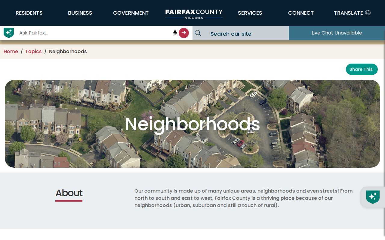
Public association routes add a community layer to a block search without converting a private directory into public data.
McLean Neighbors Across Boundaries
A block can cross a ZIP, voting precinct, school area, supervisor district, watershed, or the McLean CDP boundary. McLean's postal labels, Fairfax County records, Dranesville District, tax-map grids, and the McLean Community Business Center overlap but are not the same geography. The 230-acre CBC is centered on Chain Bridge Road and Old Dominion Drive and occupies parts of tax-map grids 30-2 and 30-4. It is a planning area, not a separate government records office.
Use My Neighborhood and the Fairfax ZIP interactive map to compare ZIP, precinct, school, supervisor, and other geographic layers. A difference between two sides of a street can be real administrative context, but it never proves who lives in either home. Keep the selected layer and map date with the parcel notes.
McLean Neighbors Official or Commercial
Official and commercial neighbor tools answer different questions. A commercial category may combine old address feeds and association labels, but it cannot replace a county parcel record, recorded plat, voter-law request, or association's own public contact route. Use the source that created the record, and label the result with what it actually represents.
| Source category | Best use for McLean neighbors | Limit to keep in view |
|---|---|---|
| Official county and state records | Parcel, legal line, civic district, permit, or statutory voter information | Each data set has its own access and privacy limit |
| Association public contact | Meeting, volunteer, board, committee, or public directory notice | Not a public membership roster or boundary authority |
| Commercial neighbor category | A lead to verify through an official record | May be stale, incomplete, or wrongly joined across people and addresses |
McLean Neighbors Privacy Limits
Some block information is not public. Utility and delivery-customer data, DMV personal information, confidential vital material, sealed court records, and private association membership lists do not become available because a parcel is nearby. Virginia's Address Confidentiality Program gives qualifying participants a designated address and limits access to their actual address. iCare also permits owner-name Internet suppression while the name remains available through the office or phone record.
The Virginia Sex Offender Registry has name, address, county, ZIP, school, and neighborhood-map search modes, but its own notice says it is not a risk assessment and does not determine that a person is currently dangerous. Treat a registry result as a dated official record with its stated limits. Retain the search date, registration number, and mode rather than making a broader claim about a person or a block.
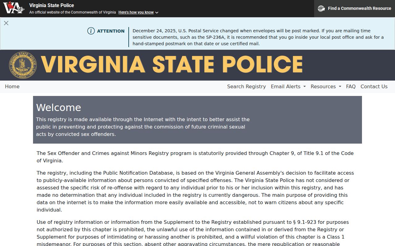
The registry's map mode is one narrow public-safety source and does not replace verified local records or personal judgment.